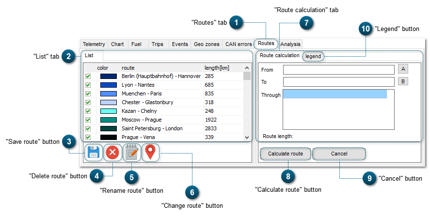
In the List tab, all created routes are displayed, and also their attribute information (name of the route, length of the route (km), color of the route on the map).
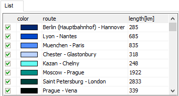
If you select the checkbox of a route , the route will be displayed on the maps:
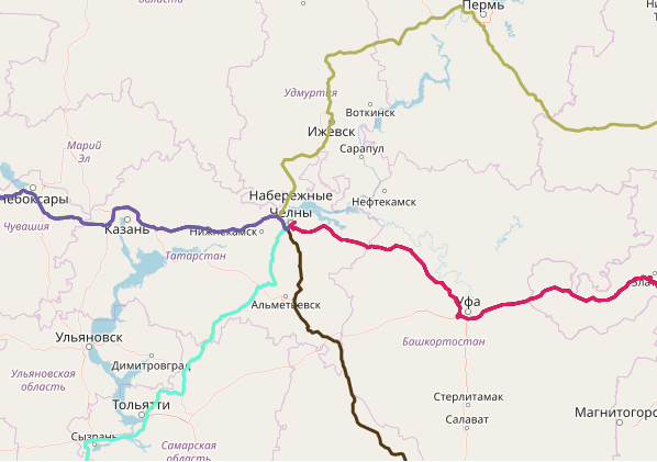
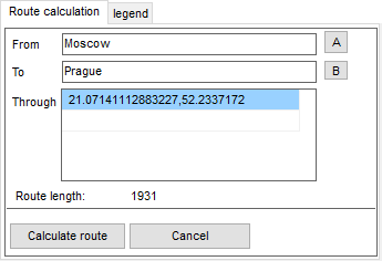
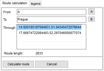
In this tab, you can calculate new routes. To calculate a route, you need to set start point and end point of the route (From, to), and also points that the route goes through.
You can set route points in several ways:
Indicate name (of a city, town, village, street, place, etc);
Give geographical coordinates of points;
Put a marker on the OpenStreetMap. To do it, click (it means From) and (To).
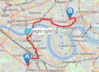
On the OpenStreetMap, a POI will appear: – from, – to, – through. The POI can be moved to any place of the map.