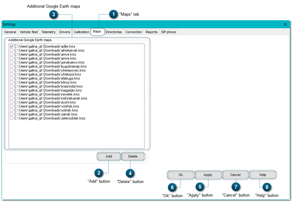
The usage of maps in the Geostron system increases the opportunities for objects monitoring. Many areas of the Earth don't have detailed photos received from a satellite and don't have interactive maps. The usage of additional maps solves this problem.
The button Add helps to add maps in the Geostron interface.
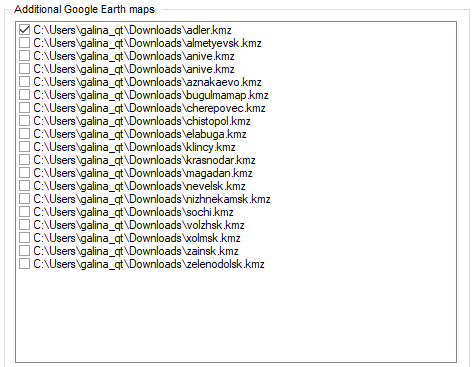
Before this, you need to download the map with the extension *.kmz.After you add a map, the path to the file is displayed in the field Additional Google Earth maps.