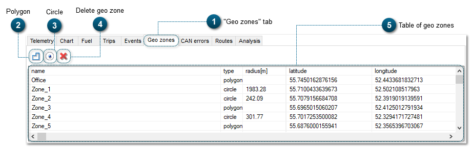
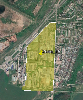
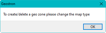
This tool is necessary for saving a geo zone as a polygon.
To do this, click this tool and open the map OpenStreetMap or 2GIS. When you click somewhere in the map area, points connected in sequence will appear. Then they will form a closed polygon.
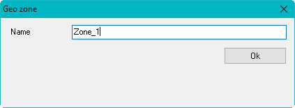
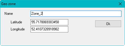
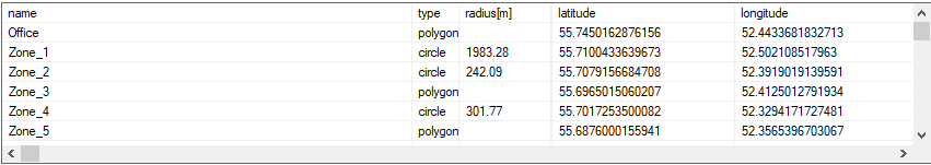
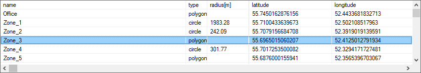
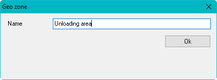
After you create a polygon, a dialog window will appear. In this window, you need to give a name to the geo zone and click Ok:
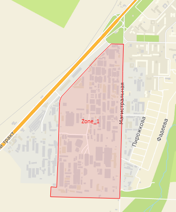
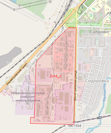
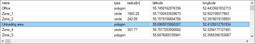
Here is an example of a geo zone of the polygon type on different maps:
This tool is necessary for saving a geo zone as a circle.
To do this, click this tool and open the map OpenStreetMap or 2GIS. When you click somewhere on the map, the first point will beсome the centre of the circle.
Then you will need to expand this circle so that you reach the desired radius, and click to save the geo zone.
After you create a circle, a dialog window will appear. In this window, you need to give a name to the geo zone and click Ok:
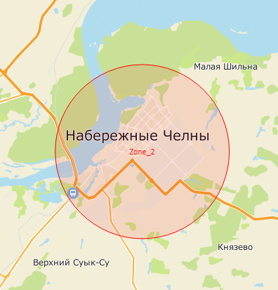
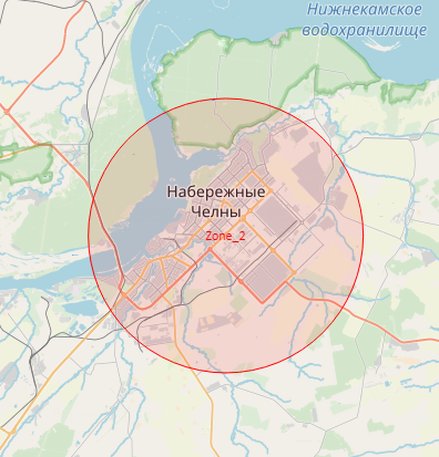
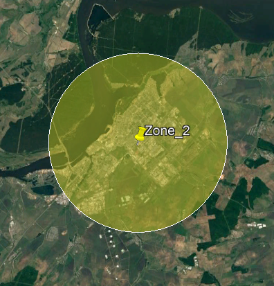
Here is an example of a geo zone of the circle type on different maps: