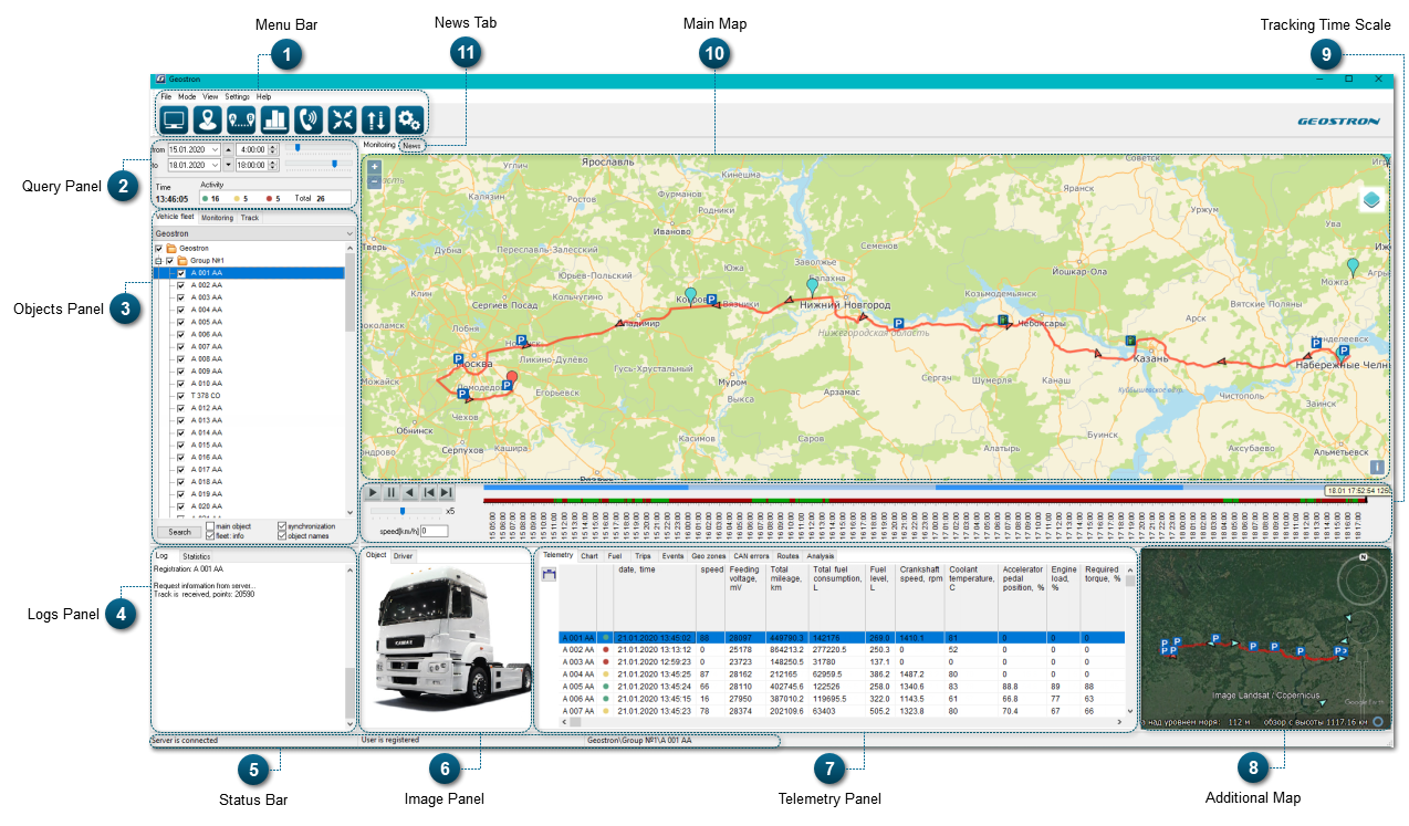
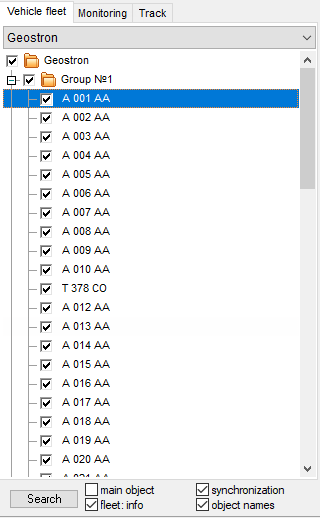
Objects Panel displays the hierarchical structure of a company's departments and vehicles. This panel includes a group of tabs allowing to control the monitoring process.
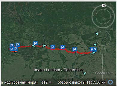
Additional Map is used to make visual control of monitored objects more convenient. Google Earth, OpenStreetMap or 2GIS can be used as an additional map.
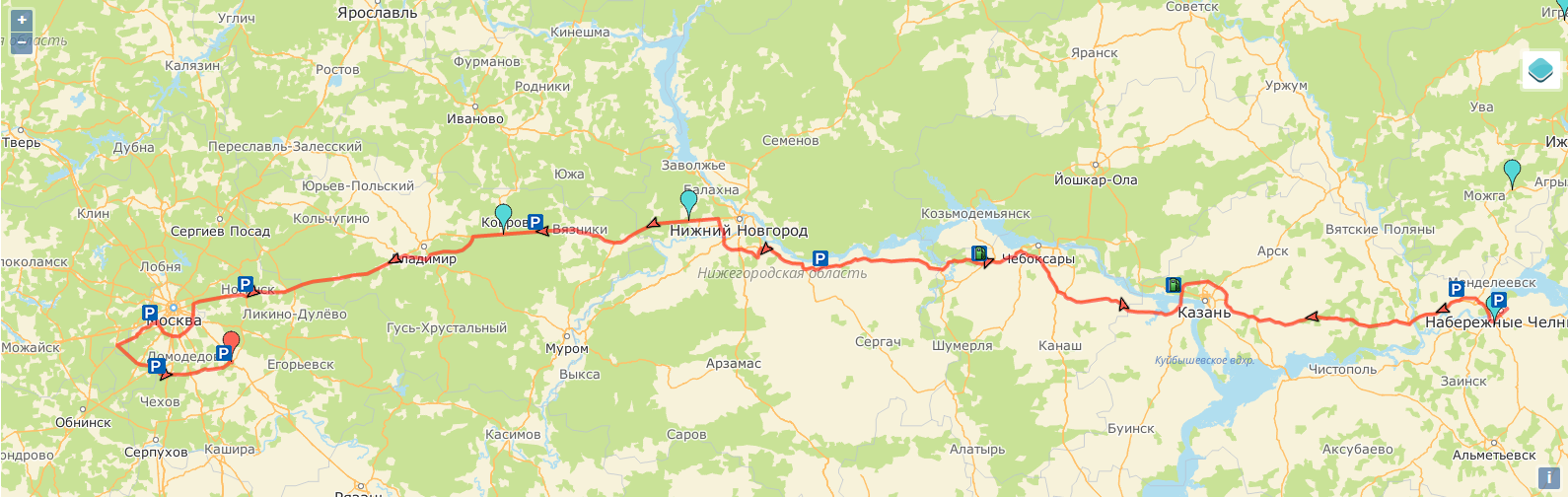
Main Map allows to exercise visual control over monitored objects. Google Earth, OpenStreetMap or 2GIS can be used as a main map. It is also possible to replace it with Additional Map.
News Tab shows a page on the website of the software company that designed this system. On this page, you can find information about latest updates or changes in the system, and other helpful information.