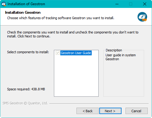
Google Earth is a computer program provided by Google, that renders a 3D representation of Earth based primarily on satellite imagery. The program maps the Earth by superimposing satellite images, aerial photography and GIS data onto a 3D globe, allowing users to see cities and landscapes from various angles. This service is used in the Geostron program as a major mean of visualisation. The components of Google Earth are installed on your PC automatically during the installation of the Geostron program.
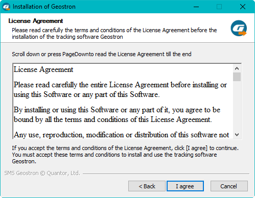
Section License Agreement:
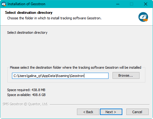
Geostron Setup Wizard suggests to install the system to a directory selected in the field "Destination folder". To use the default directory, click "Next". To select another directory, click "Browse" and select a directory.
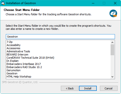
Geostron Setup Wizard suggests to select a directory in the Start menu to create shortcuts. To continue, click "Install".
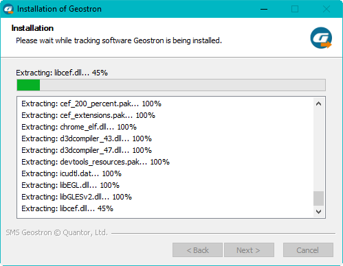
The system is being installed:
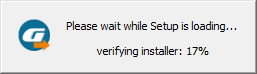
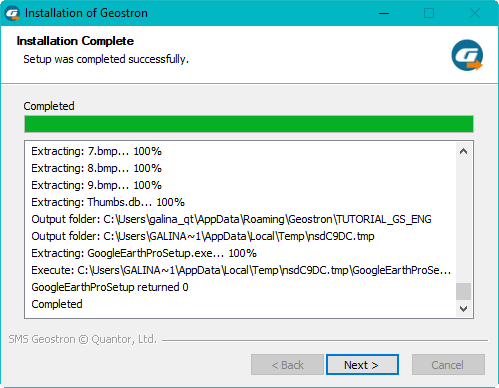
During the installation of the Geostron program, the necessary installation files are copied to your hard drive. All the installation files are located in the system installation directory.
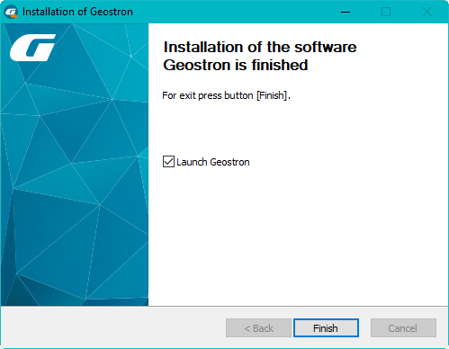
When the satellite monitoring system is installed successfully, the shortcut icon will be created on your desktop: